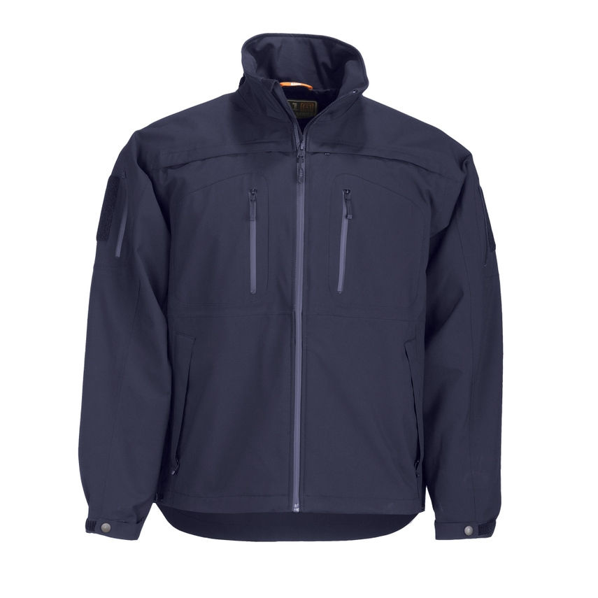
- Apparel
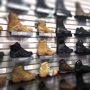
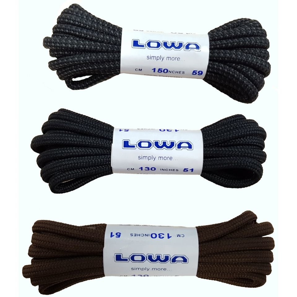
- Foot Wear
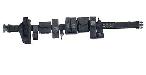
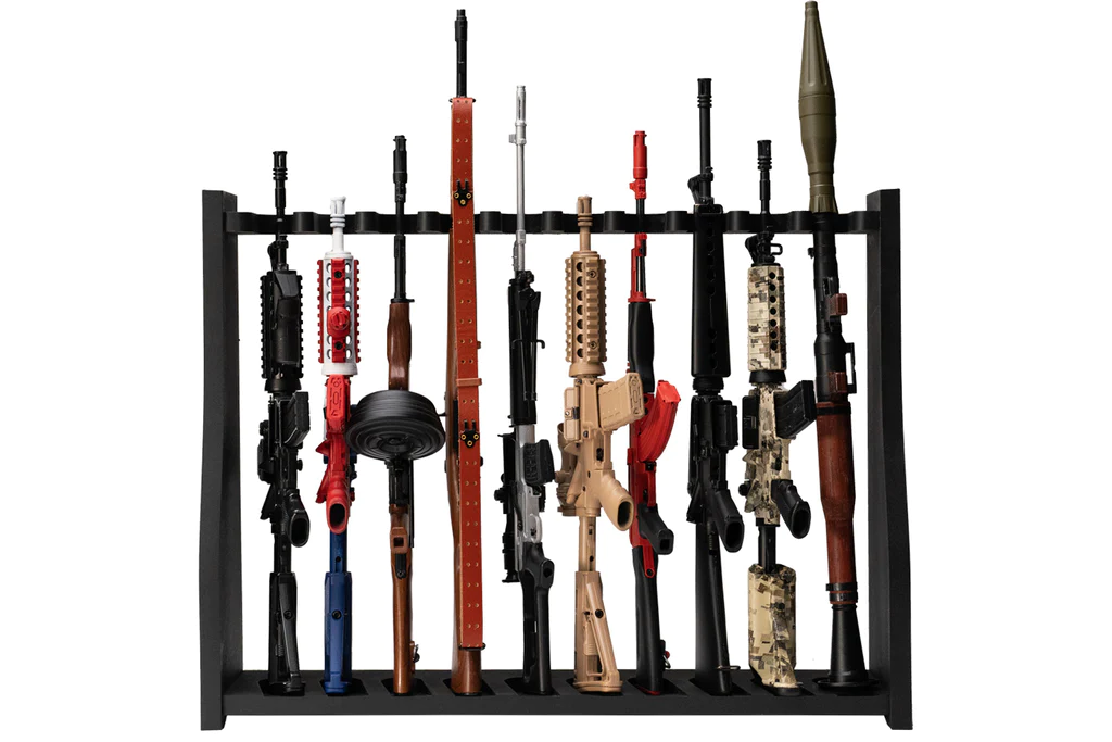
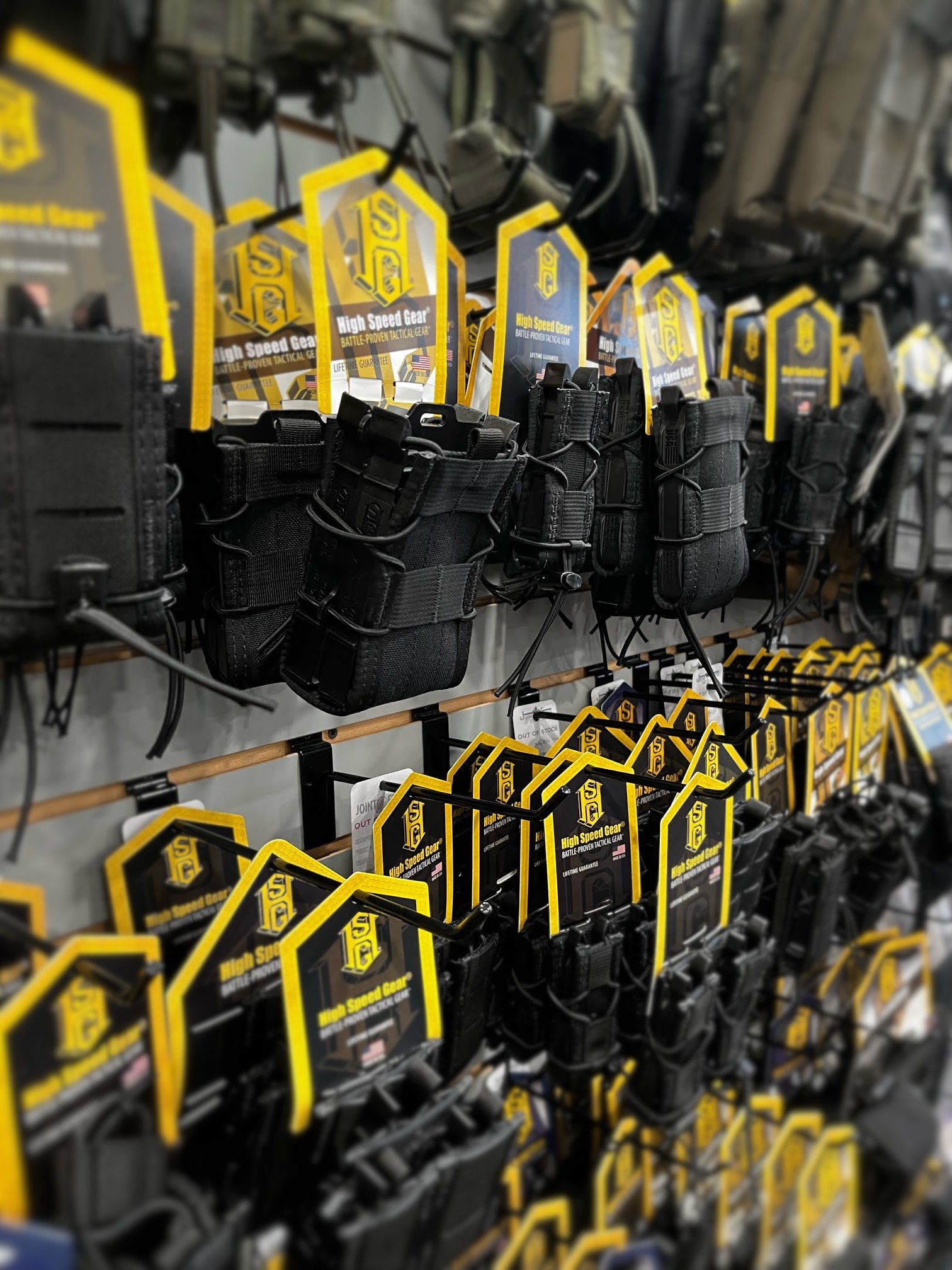
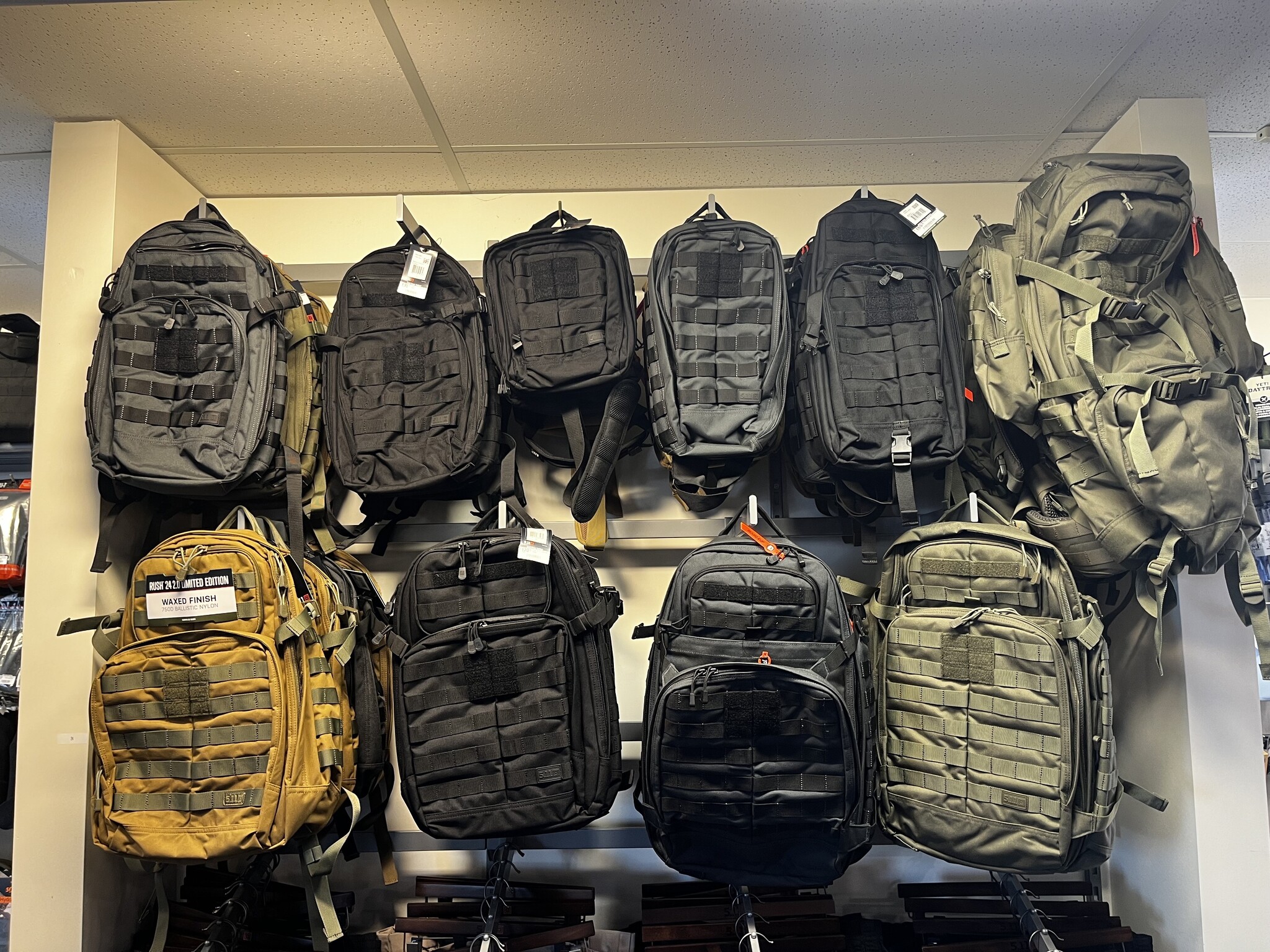
- Tactical Gear
- Back
- Tools
- Canadian Made
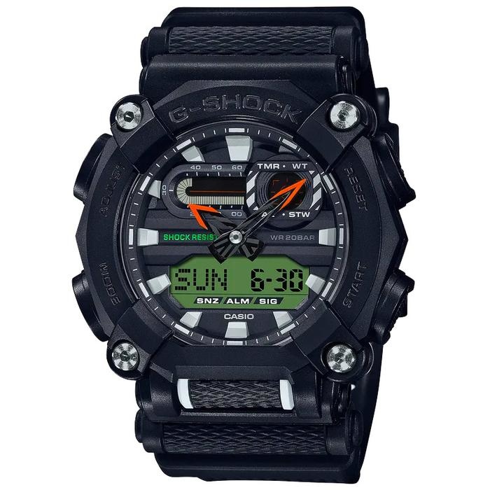
- Watches
- Wallets/Badge Holders
- Weapon Clearing Traps
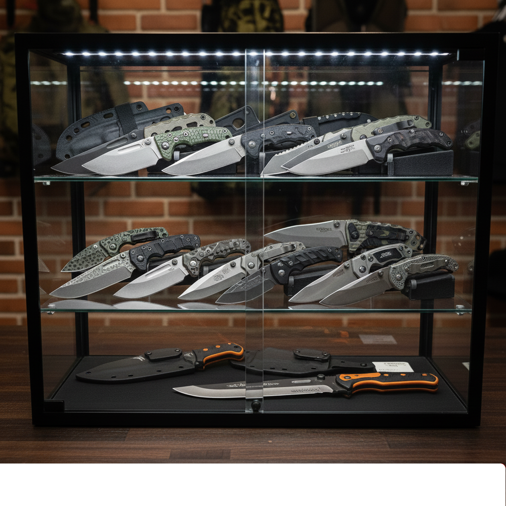
- Knives
- Cuffs
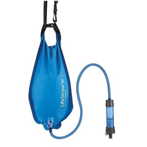
- Hydration
- Gun Cleaning Supplies
- Optics
- Stationary
- Breaching Tools
- Accessories
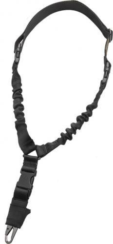
- Slings
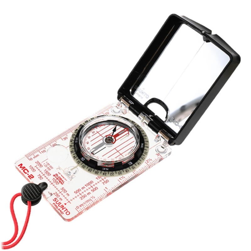
- Navigation
- Gun Accessories
- Food
- Eyewear
- Radio Headsets
- Protective Equipment
- Mini Replica Guns
- Pouches
- Stoves and Accessories
- Climbing Gear
- Handcuff Keys and Punches
- Gloves
- Scopes
- Cameras
- Hand and Foot Warmers
- Pouch
- Outerwear
- Bags and Cases
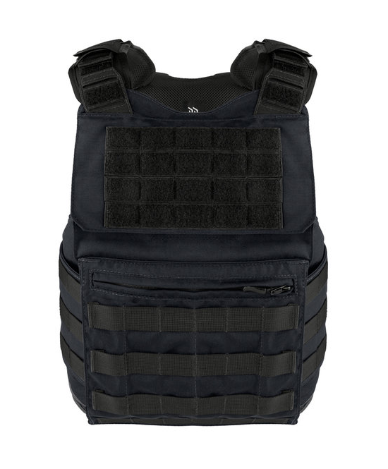
- Body Armour
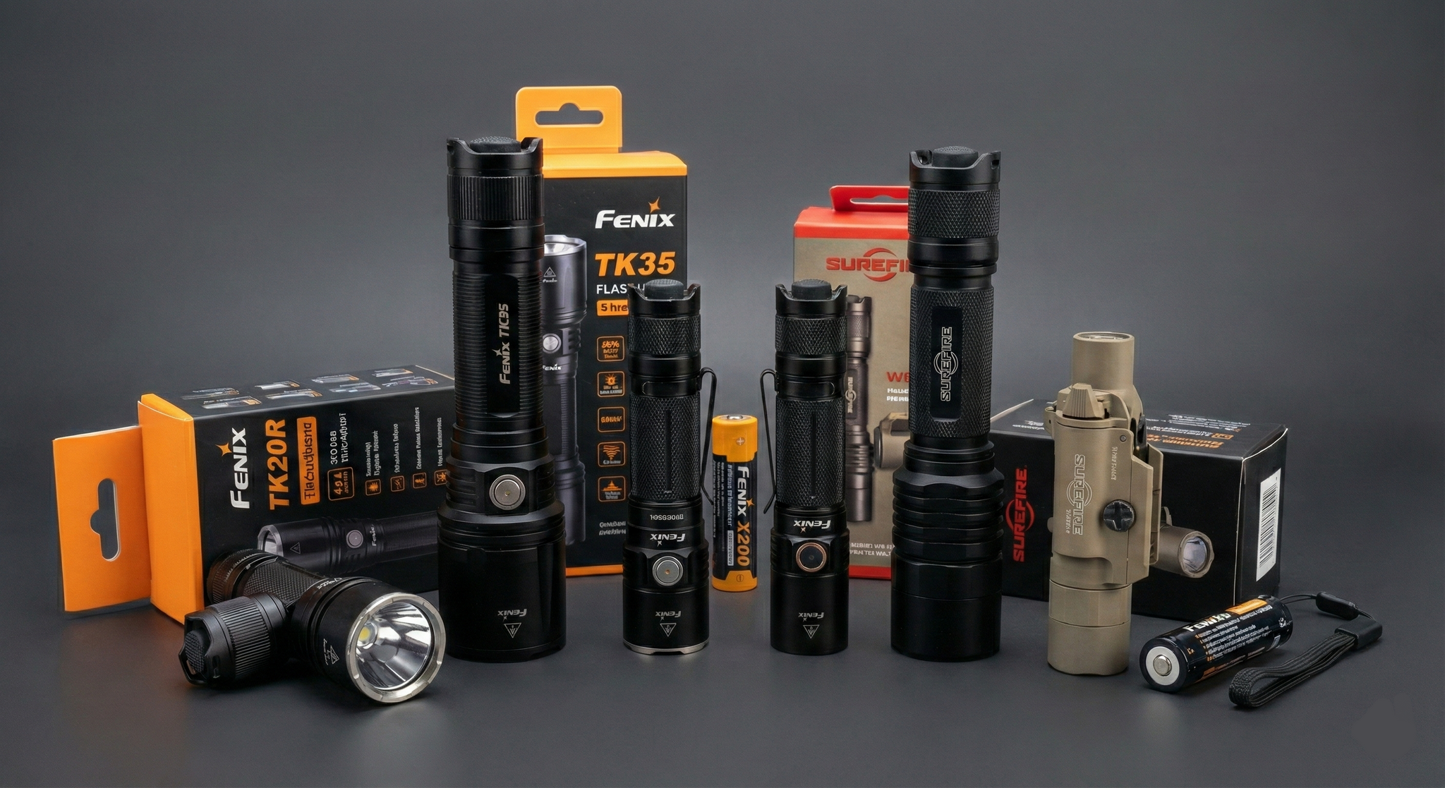
- Lights
- First Aid
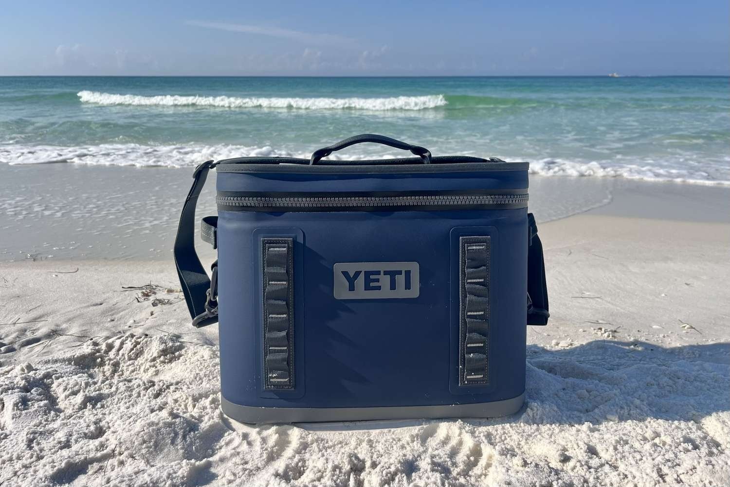
- YETI
- Clearance Deals
- Clearance Deals - Boots


- In stock
224.95
157.46
Excl. tax
103-5725 Vedder Road
Flat Rate $15.00 Shipping
LEAF Discount Available
Contact Us For Special Orders!
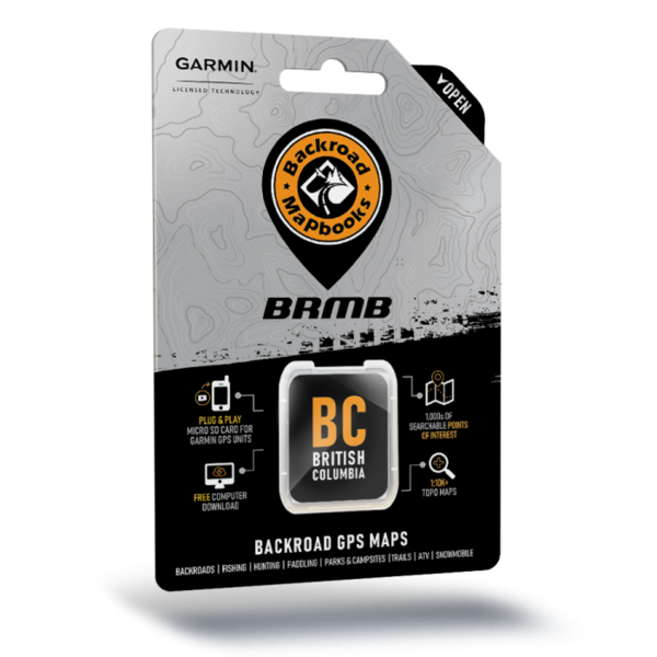
- Article number: GPS-WC
Back Road Mapbooks
From the islands of Haida Gwaii, where ancient First Nations villages are hidden among the rainforest and orca whales swim the open Pacific Ocean, to the plains of eastern Alberta, home to a rich farming and ranching heritage that remains as strong as it ever was, the area covered by these GPS Maps is one of stark contrast and incredible adventure opportunity. The ancient trading routes of the Chilcotin steppe, the laid-back counterculture of the Kootenays, the sky-scraping peaks of the Rocky Mountains and the recreation-rich expanse of the Alberta foothills all combine to create one of the most stunning regions in Canada, and these GPS Maps are your ultimate guide to making the most out of your adventure.
So Much More Than Just Maps!
Backroad Mapbooks’ industry-leading, Garmin-licensed BC & Alberta GPS Maps are the most detailed, comprehensive and up-to-date GPS maps available on the market. These are the maps of choice for recreation, industry, and search-and-rescue, with 3D views, shaded relief and countless geographic and activity based points-of-interest. Updated annually, these GPS maps are Garmin licensed for compatibility with Garmin GPS and Garmin Basecamp. Available in Micro SD format, these BC & Alberta GPS Maps are easy to install and use and bring you all of the detail of our wildly popular Backroad Mapbook series directly to your GPS device or computer. Keep your adventure rolling with the latest topographic data, routable roads, oil and gas data, Wildlife Management Units, trails, rec sites, paddling routes, scenic viewpoints and so much more. With the latest edition of our BC & Alberta GPS Maps in hand, your options for adventure are limitless.
BC & Alberta Backroad GPS Map Features
- Garmin-licensed & compatible with Garmin GPS™, Basecamp™, MapSource™ and RoadTrip™.
- Includes all standard Garmin features such as Find tool, city navigation and more.
- Preloaded 1:20,000 / 1:50,000 base scale seamless topographic maps.
- Compatible with the latest Garmin 66i unit and inReach technology.
- Industry leading cartographic contours and shaded relief for all of BC & Alberta
- Provides 3D views and the highest level of map detail available on select Garmin GPS units and Basecamp™.
- The most complete Resource, Industry, and Logging road coverage available for BC & Alberta.
- Extensive routable road network including City, Resource, and Industry Roads.
- Highlights tens of thousands of kilometres of trail systems, including defined ATV, Paddling, Snowmobile, Long distance & Multi-use trails.
- Features smart background & Searchable Wildlife Management Units (WMUs) for hunters.
- Includes National, Provincial, Regional, and other Parks & Campsites.
- Extras like Lake & Stream Fishing information with boat launches, paddling access points, bathymetric depths, and more.
- Searchable BRMB descriptions and activity information for fishing, paddling, parks, trails and more.
- Thousands of Searchable cities, Geographic Land, and Water features.
- Includes Oil and Gas LSD Grid Locations, Compressor Stations, Gas Plants, Wellsites and other Resource Facilities.
- Features Address and Township & Range searching to aid navigation in Alberta.
- Showcases private/leased land areas in BC.
- And much more!
British Columbia Custom POI Highlights
- 265,000 searchable Oil and Gas LSD Grid locations, PNG Grid Locations
- 225+ BC Wildlife Management Units (WMU) for hunters
- Fishing Lakes and Rivers with over 3,500 locations with descriptions and fish species
- Close to 950 Boat Launch locations
- Close to 5,300+ Trails with front country and backcountry locations and descriptions
- ATV Trails with close to 500 trailhead locations and descriptions
- Snowmobile Trails with over 400 trailhead locations and descriptions
- Parks with over 3,000 National, Provincial and Regional Park locations and descriptions
- Recreation Areas with over 1,200 locations and descriptions
- Close to 1,200 Backcountry campsites
- Over 1,300 Campground and Picnic locations
- Paddling with over 580 paddling route access points descriptions and portage locations
- Wildlife Viewing with close to 1,000 locations and descriptions
- Over 370 Winter Recreation Sites and Downhill Ski Areas
- Over 2,100 City, Town and Community locations
- Over 900 Compressor Stations
- Close to 100 Gas Plants
- Over 13,000 Resource Facilities
- Over 60,000 searchable land and water geographic features
- Over 370 Backcountry Huts and Cabins
BC & Alberta Custom POI Highlights
- 410+ BC & Alberta Wildlife Management Units (WMUs) for hunters
- Fishing Lakes and Rivers with 5,000+ locations with descriptions and fish species
- Over 1,200 Boat Launch locations
- Over 7,200 Trails with front country and backcountry locations and descriptions
- Snowmobile Trails with over 660 trailheads/staging areas and descriptions
- ATV Trails with over 780 trailheads/staging areas and descriptions
- Parks with over 4,900 National, Provincial, Regional Parks and Conservation Areas with descriptions
- 1,600+ Backcountry campsites
- Over 1,900 Campground and Picnic locations
- Paddling with over 2,100 paddling route access points descriptions and portage locations
- 690 Winter Recreation Sites and Downhill Ski Areas
- 1,380+ Wildlife Viewing locations and descriptions
- 4,500 + City, Town and Community locations
- 77,000+ searchable land and water geographic features
- Over 370 Backcountry Huts and Cabins
Western Canada Custom POI Highlights
- Close to 425 Wildlife Management Units in BC and AB, over 80 Wildlife Management Zones in SK and over 60 Game Hunting Areas in MB for hunters
- Fishing Lakes and Rivers with 6,500+ locations with descriptions and fish species
- Close to 1,600 Boat Launch locations
- Over 7,500 Trails with front country and backcountry locations and descriptions
- Snowmobile Trails with close to 980 trailheads/staging areas and descriptions
- ATV Trails with over 800 trailheads/staging areas and descriptions
- Parks with over 45300 National, Provincial, Regional Parks and Conservation Areas with descriptions
- Close to 2,000 Backcountry campsites
- Over 2,300 Campground and Picnic locations
- Paddling with 4,300+ paddling route access points descriptions and portage locations
- 800+ Winter Recreation Sites and Downhill Ski Areas
- 900+ Wildlife Viewing locations and descriptions
- 9,600+ City, Town and Community locations
- 100,000+ searchable land and water geographic features
- 750 Backcountry Huts and Cabins
Reviews
No reviews found
