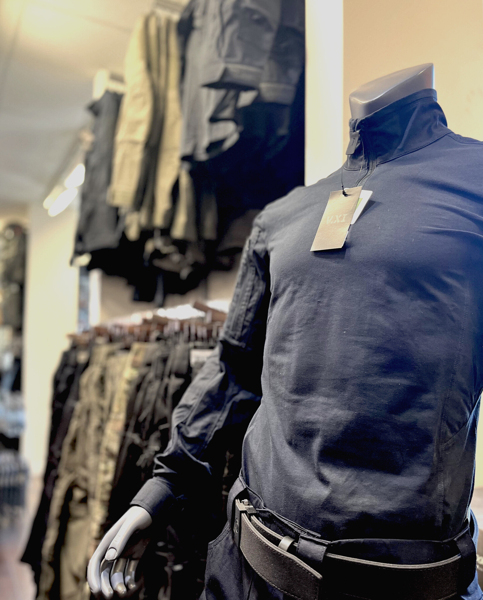
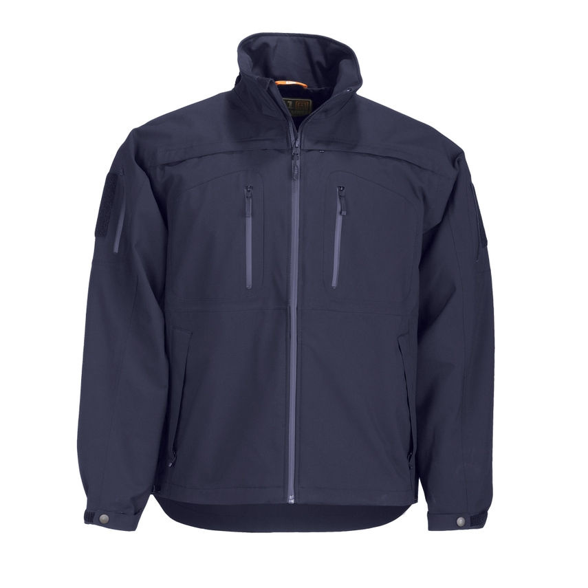
- Apparel
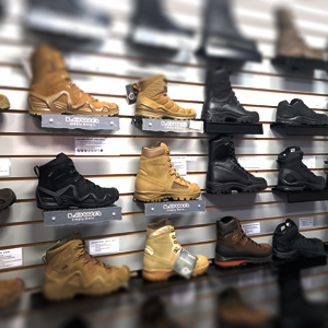
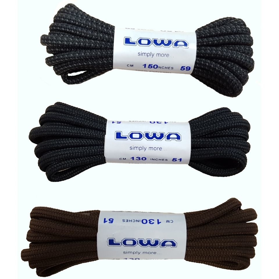
- Foot Wear
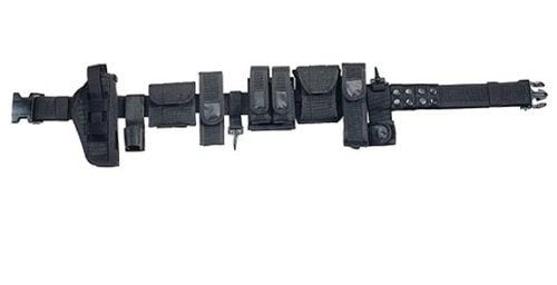
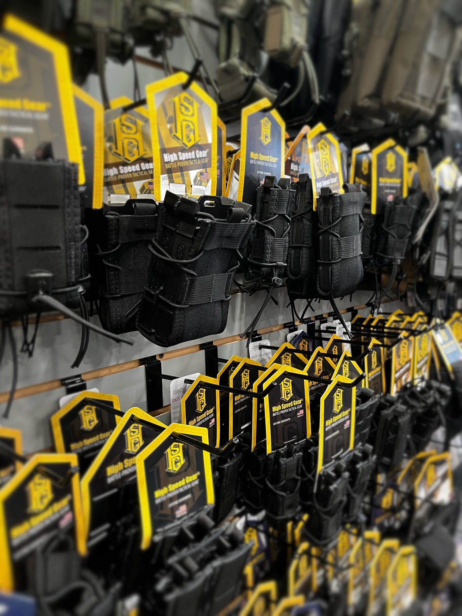
- Tactical Gear
- Back
- Tools
- Canadian Made
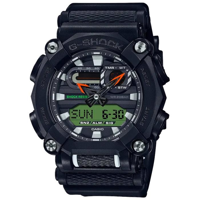
- Watches
- Wallets/Badge Holders
- Weapon Clearing Traps
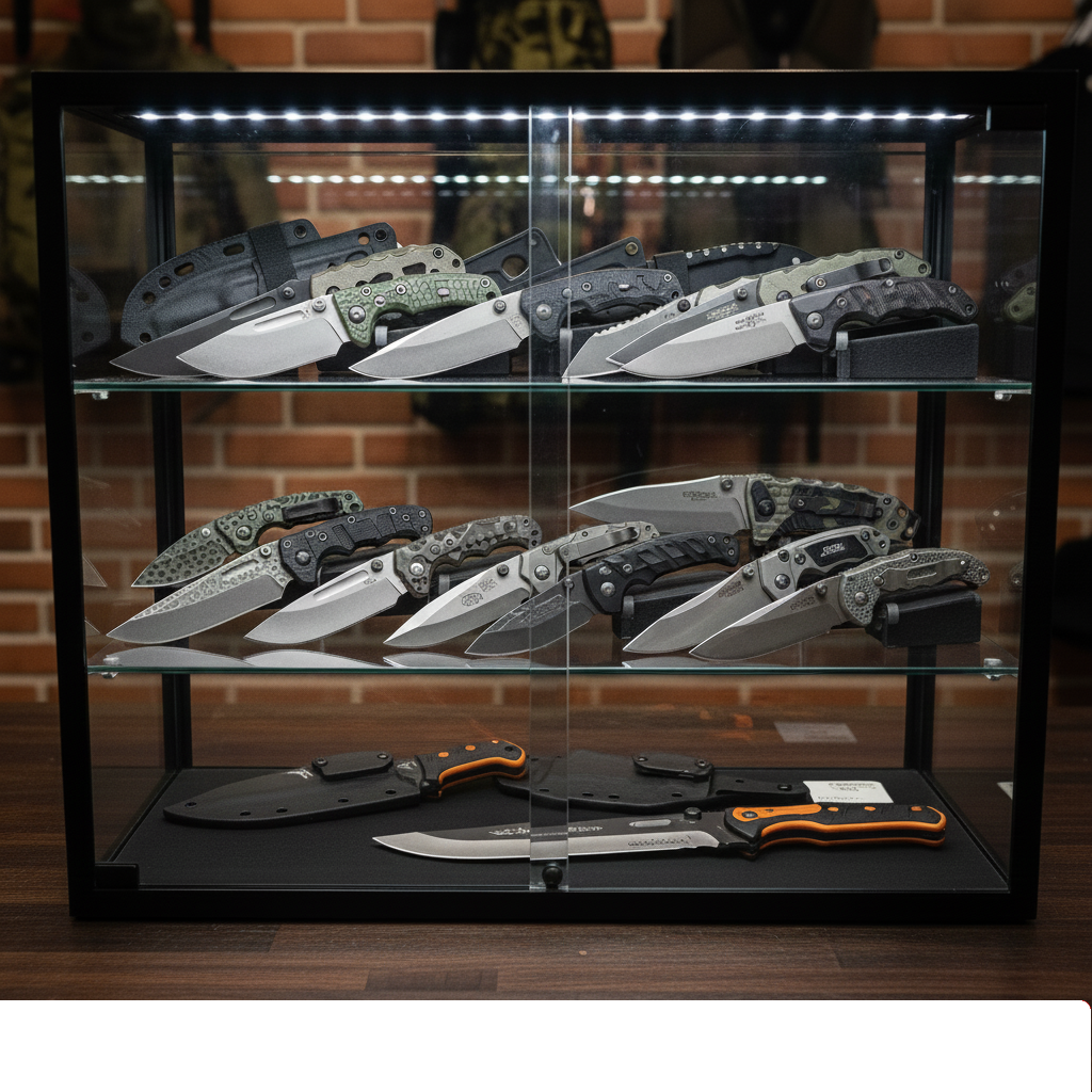
- Knives
- Cuffs
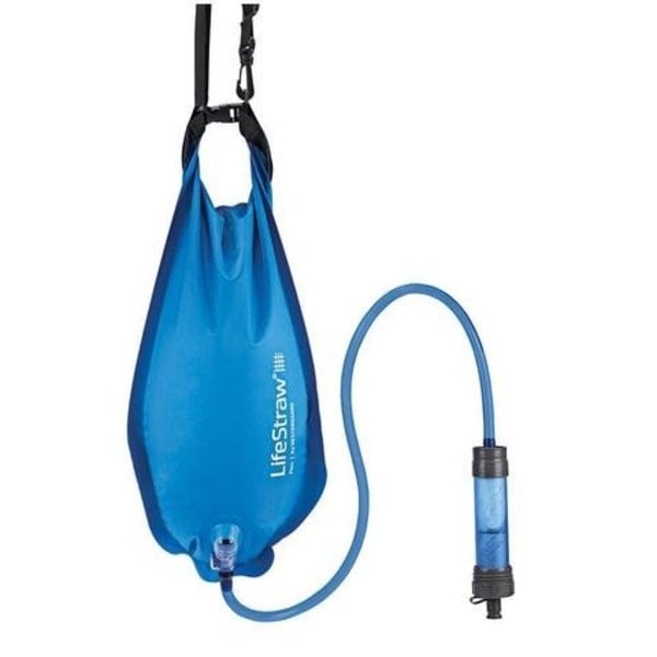
- Hydration
- Gun Cleaning Supplies
- Optics
- Stationary
- Breaching Tools
- Accessories
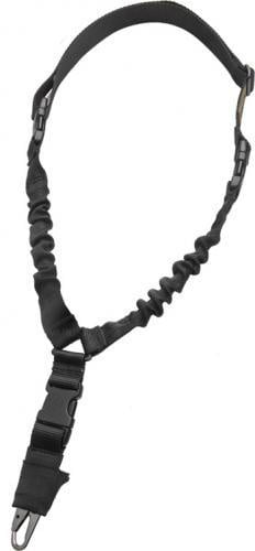
- Slings
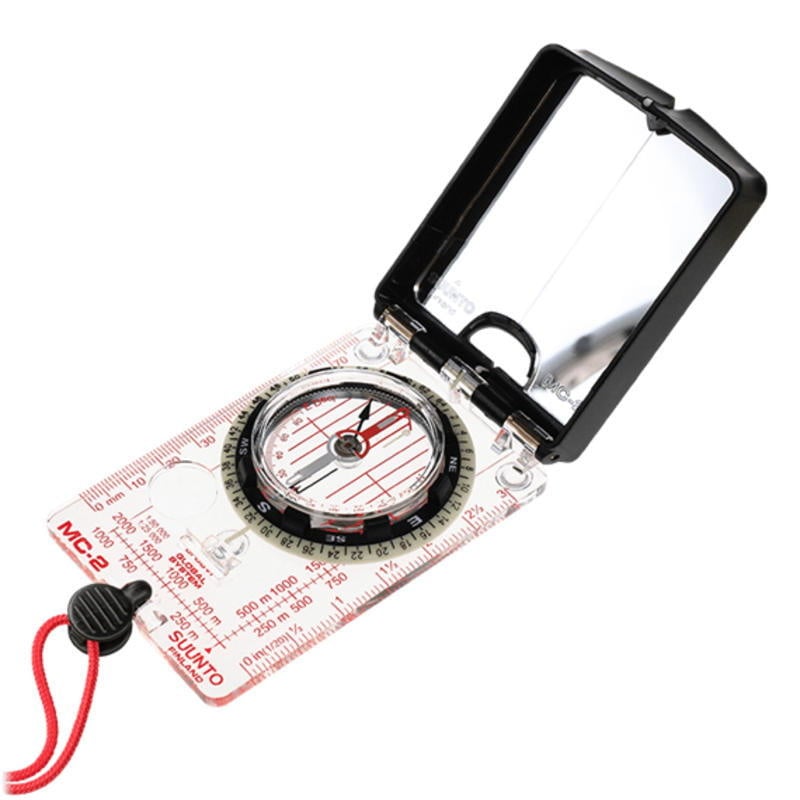
- Navigation
- Gun Accessories
- Food
- Eyewear
- Radio Headsets
- Protective Equipment
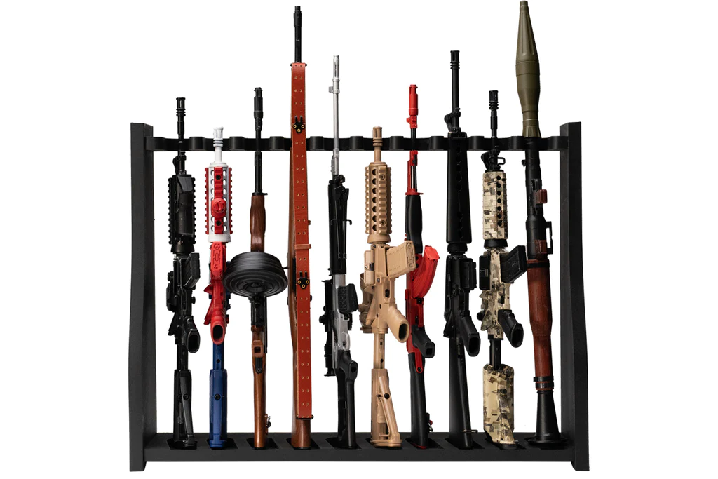
- Mini Replica Guns
- Pouches
- Stoves and Accessories
- Climbing Gear
- Handcuff Keys and Punches
- Gloves
- Scopes
- Cameras
- Hand and Foot Warmers
- Pouch
- Outerwear
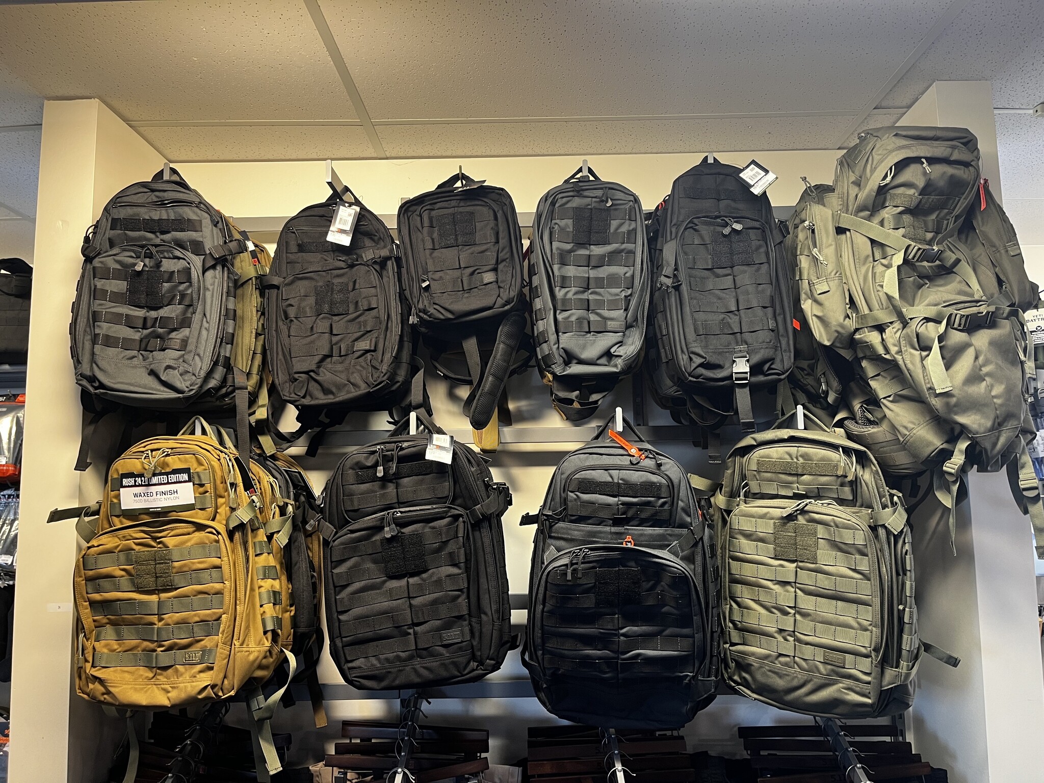
- Bags and Cases
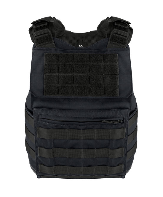
- Body Armour
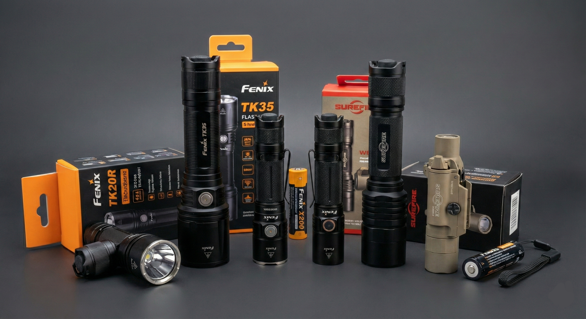
- Lights
- First Aid
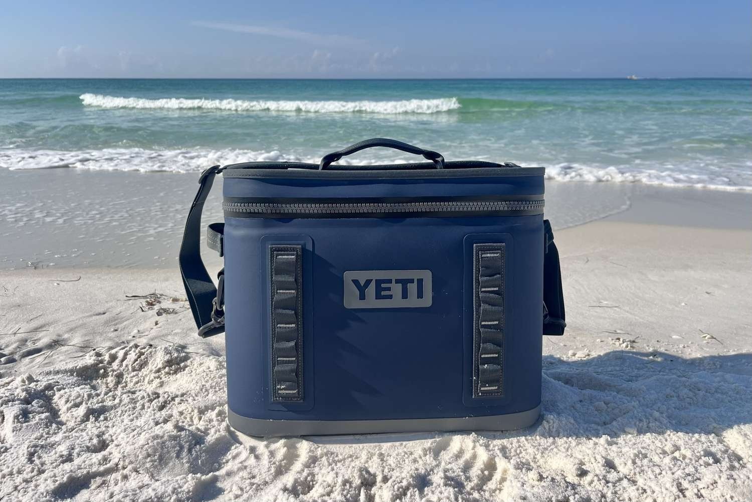
- YETI
- Clearance Deals
- Clearance Deals - Boots


- In stock
15.95
9.57
Excl. tax
103-5725 Vedder Road
Flat Rate $15.00 Shipping
LEAF Discount Available
Contact Us For Special Orders!
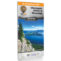
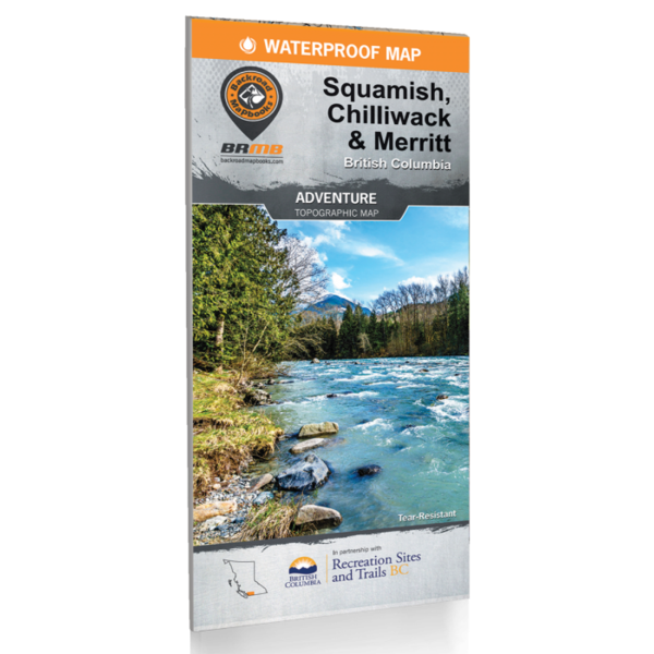
- Article number: Map-WP-Okanagan
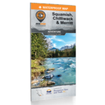
Squamish, Chilliwack and Merritt BC Adventure Map
Covering the southwest corner of British Columbia, the area that encompasses Squamish, Chilliwack, and Merritt has some of the greatest outdoor adventure opportunities in Canada. The area around Squamish is renowned for its rock climbing and hiking opportunities, while the mountains of Vancouver’s North Shore are regarded as some of the best mountain biking in the region. Heading east, the resort town of Harrison Hot Springs offers stunning lake views, while the area around Merritt to the north offers hundreds of incredible fishing lakes. This map charts the area around Whistler, Squamish, Vancouver, Chilliwack, and Harrison Hot Springs on one side, with Hope, Boston Bar, Merritt, and Princeton on the other side. Whether you are looking to hike, bike, camp, fish, paddle, swim, ski, snowshoe, hunt or ATV, this map gives you the most comprehensive coverage available anywhere for one of Canada’s most sought-after outdoor destinations.
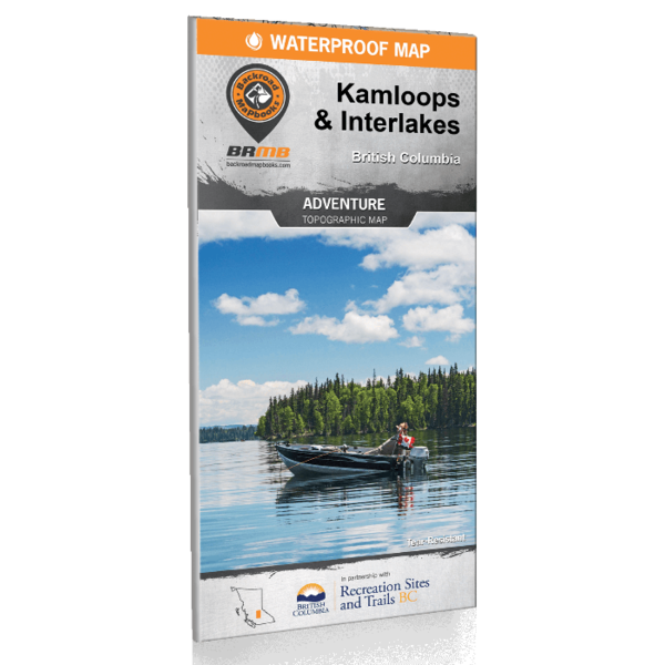
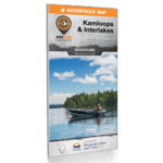
KAMLOOPS & INTERLAKES BC ADVENTURE MAP
Deep in the heart of BC’s interior, the city of Kamloops and the surrounding Interlakes region abound with natural beauty and unlimited outdoor recreation opportunities. Located in the southeast region of the area covered by this map, Kamloops is surrounded by a large variety of grassland, desert, pine forests and rolling hills and offers outdoor adventures in every direction. To the north, the cities of 100 Mile House and Clearwater retain a proud gold rush heritage while the Interlakes Highway has rightfully proclaimed itself as the “Fishing Highway” sporting some of the best lake fishing in the province. Further north, the pristine wilderness of Wells Gray Provincial Park draws visitors from all over the world to its sparkling lakes and towering waterfalls. Whether you are looking to hike, bike, camp, fish, paddle, swim, ski, snowshoe, hunt or ATV, this map gives you the most comprehensive coverage available anywhere for this exciting area..
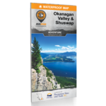
Okanagan Valley & Shuswap Map
Located in the heart of BC’s southern interior, the Okanagan Valley is a diverse and beautiful area with year-round outdoor adventure opportunities. From arid desert plains to crystal-clear mountain streams and old-growth forests, the Okanagan is famous for both its sunshine and snow. This map charts the entire Okanagan Valley and Shuswap area, from Adams Lake and the upper reaches of the Shuswap Lakes to the north, Revelstoke and Granby Provincial Park to the east, and Grand Forks and the historic Greenwood to the south, along with coverage of outdoor recreation hotspots such as Osoyoos, Kelowna, Vernon, and Salmon Arm. Whether you are looking to hike, bike, camp, fish, paddle, swim, ski, snowshoe, hunt or ATV, this map gives you the most comprehensive coverage available anywhere for one of Canada’s most sought-after outdoor destinations.
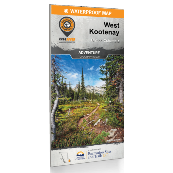
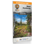
WEST KOOTENAY BC ADVENTURE MAP
West of the Kootenay River in BC’s beautiful southern interior lies the region known as the West Kootenay. Here, pristine mountain streams chart their winding courses through deep valleys, while deer graze along the shore and snow-capped peaks tower overhead. This map charts this entire recreation-rich region and features a 20,000 + km² expansion from our last edition, extending north from Revelstoke to cover the area around Golden, Kinbasket Lake and Banff National Park. This map has also been expanded to the west to include Grand Forks, Granby Provincial Park and the upper reaches of Lake Revelstoke. In the south, we cover the familiar outdoor adventure hotspots of Kaslo, Nelson, Trail and beyond. Whether you are looking to hike, camp, fish, paddle, swim, ski, snowshoe, hunt or ATV, this map gives you the most comprehensive coverage available anywhere.
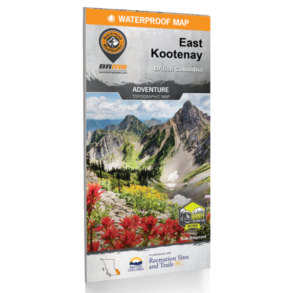
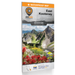
EAST KOOTENAY BC ADVENTURE MAP
Tucked away in BC’s southeastern corner is one of the province’s most exciting outdoor adventure destinations – the East Kootenays are a land of deep lakes, crystal-clear rivers, towering mountains and wide-open valleys. This waterproof recreation map charts the entire region, from the healing waters of Radium Hot Springs to the mountain playground around Fernie, the wilderness of the Purcell Range and beyond. We have expanded the map coverage north to include all of Banff National Park in Alberta, more of the Flathead area, the area north of Golden, and even a portion of the West Kootenays. Printed on durable, water-resistant material and loaded with industry-leading cartographic detail, this is your ultimate guide to one of Canada’s premier outdoor recreation areas.
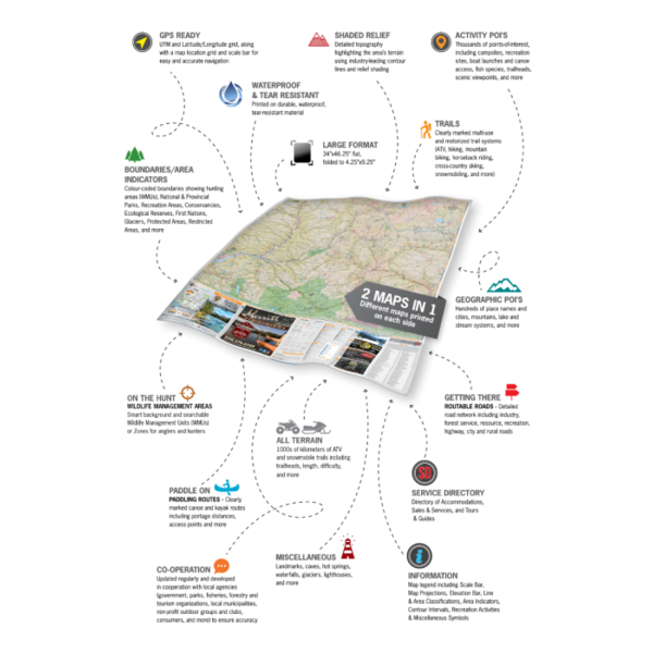
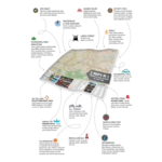
Print Features:
- Printed on durable waterproof and tear-resistant material
- Includes industry leading cartographic detail and state-of-the-art relief shading
- Countless points of interest, hiking trails, campsites, beaches, paddling routes and more!
- Numerous updates and expansions from our last edition
- Easy to read, large-scale 86 x 117 cm (34 x 46.25”) map derived from our Backroad Mapbooks at 1:150,000 scale
- Detailed index for recreation sites, trails, and provincial parks
- Seamless map coverage requires no page turning
Reviews
No reviews found